

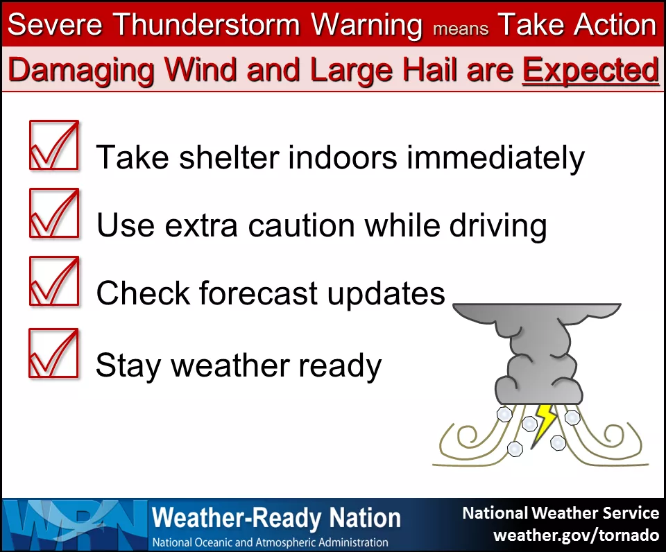
The National Weather Service (NWS), National Oceanic and Atmospheric Administration (NOAA) and Iowa Homeland Security Severe Weather Awareness Week continues Thursday, highlighting a pair of hazards already observed in southeast Iowa this season: hail and wind. These two impacts typically visit our area in the form of severe thunderstorms. According to NWS, severe thunderstorms are defined as those capable of producing hail one-inch in diameter and larger, or wind gusts of 58 miles per hour or stronger.
Hail of that size is capable of damage to property including roofs, siding, trees and vehicles. Winds of that caliber are able to break off large branches or knock over trees, causing structural damage to buildings and power outages. The NWS says that in recent years, trained weather spotters in the state have reported hail as large as softballs and winds in excess of 100 mph. Severe thunderstorm warnings were issued in Washington County twice this month, March 14th and 19th, with recorded wind speeds nearing 80 mph.
Keokuk County Emergency Management Coordinator Richard Fortney reminds residents that it’s important to be prepared before a severe weather event, “It’s important to have multiple streams of information. If the power were to go out, what do you have left to you? You have to plan to make sure you have a way to stay informed when there is severe weather. A safety plan should include any emergency contact information, flashlight, a battery, radio, NOAA weather radio, a few hours worth of activities to keep kids busy, shelf-stable food supplies, ready.iowa.gov has suggestions on items to put in to create a kit for yourself.”
The KCII Severe Weather Action team provides live coverage, any time Washington County is under a severe thunderstorm or tornado warning. With our backup generators, even during a power outage, coverage continues. The one to count on for up-to-the-minute severe weather coverage is KCII. Severe Weather Awareness Week wraps up tomorrow with flood safety.