

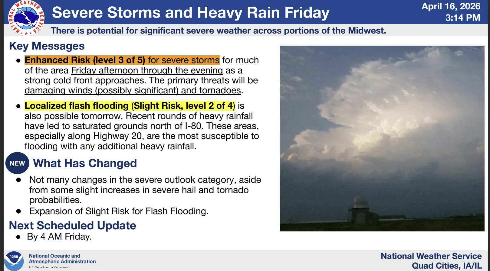
Another round of severe weather is possible for the KCII listening area today. The National Weather Service of the Quad Cities has forecast an enhanced risk, or level 3 of 5, for severe storms for much of the area Friday afternoon into Friday night as a strong cold front approaches.
The primary threats appear to be damaging winds and isolated tornadoes. This evening will see a possibility of higher coverage of storms with the potential for a squall line to move through the area. The hazards include, damaging winds of 70 miles per hour or greater possible, along with frequent lightning, isolated tornadoes, and large hail.
There is a slight risk, or level 2 of 4, along and south of the I-80 corridor for localized flash flooding Friday. Repeated rounds of heavy rainfall may flood roads, low-lying areas, fields, and basements, and cause rapid stream/creek rises. The hardest hit areas could receive two inches of rain by Friday night.
Tune into KCII for all of your severe weather coverage.