

It was a rocky start to Tuesday across the KCII listening area with a four rounds of Severe Thunderstorm Warnings.
The National Weather Service initially issued a Severe Thunderstorm Warning at approximately 7:15a.m. For portions of Washington, Henry and Louisa counties until 8a.m. Storm spotters in Wayland reported receiving hail from one inch in diameter up to ping-pong ball sized around 7:20a.m. This warning was allowed to expire at 7:44a.m.
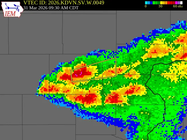
A second Severe Thunderstorm Warning was issued at 8:11a.m. For portions of Washington and Louisa counties until 9a.m. With the storm located over Cotter. Radar-indicated threats included 60mph wind and inch in diameter hail.
The third warning Tuesday was a Severe Thunderstorm Warning until 10:15a.m. For portions of Washington, Louisa and Johnson counties. The warning was initiated at 9:31a.m. after Law Enforcement reported golf ball sized hail north of the city of Washington. At the same time a second Severe Thunderstorm Warning was put in place for portions of Henry and Louisa counties until 10:30. Both warnings were allowed to expire at 10:10a.m.
Minutes after expiration a Severe Thunderstorm Warning was reissued for portions of Washington and Louisa counties until 10:45a.m. For a storm located over the city of Crawfordsville. Washington county was dropped from that warning just before 10:30a.m. As of 10:30a.m. Tuesday Crawfordsville had received one inch of rain and Wapello three quarters of an inch of rain.
Two members of the KCII Severe Weather Action Team responded with coverage live on-air. Had the power gone out, coverage would have continued with our emergency backup generators. The one to count on for up-to-the-minute severe weather coverage is KCII.