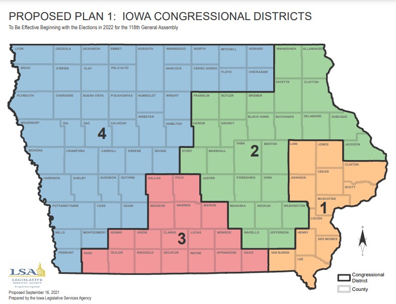
A glimpse into how Iowa’s congressional and legislative districts could look over the next 10 years was given last week.
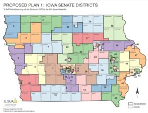
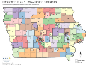
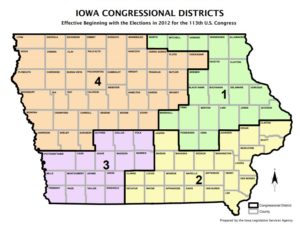
The nonpartisan Legislative Services Agency, which draws the state’s political maps, released its first set of proposed maps to the public and lawmakers on Thursday. While the maps show Washington County remaining in the 2nd Congressional District, there are some changes for the state house and senate districts. Currently House District 78 comprises most of Washington County while the southeast portion is a part of District 84. The proposed map which would be effective for the 2022 election shows the 76th district taking up much of the northern half of the county with the rest included in district 78. For senate districts, currently most of the county is in the 39th district with the southeast portion in district 42. The proposed map shows most of the northern half of the county in the 38th district with the rest in the 39th district. Final approval for these maps are due by December 1st.